A new project at the South Dakota State University Image Processing Laboratory will help intelligence agencies use images from remote-sensing satellites to protect national security.Â
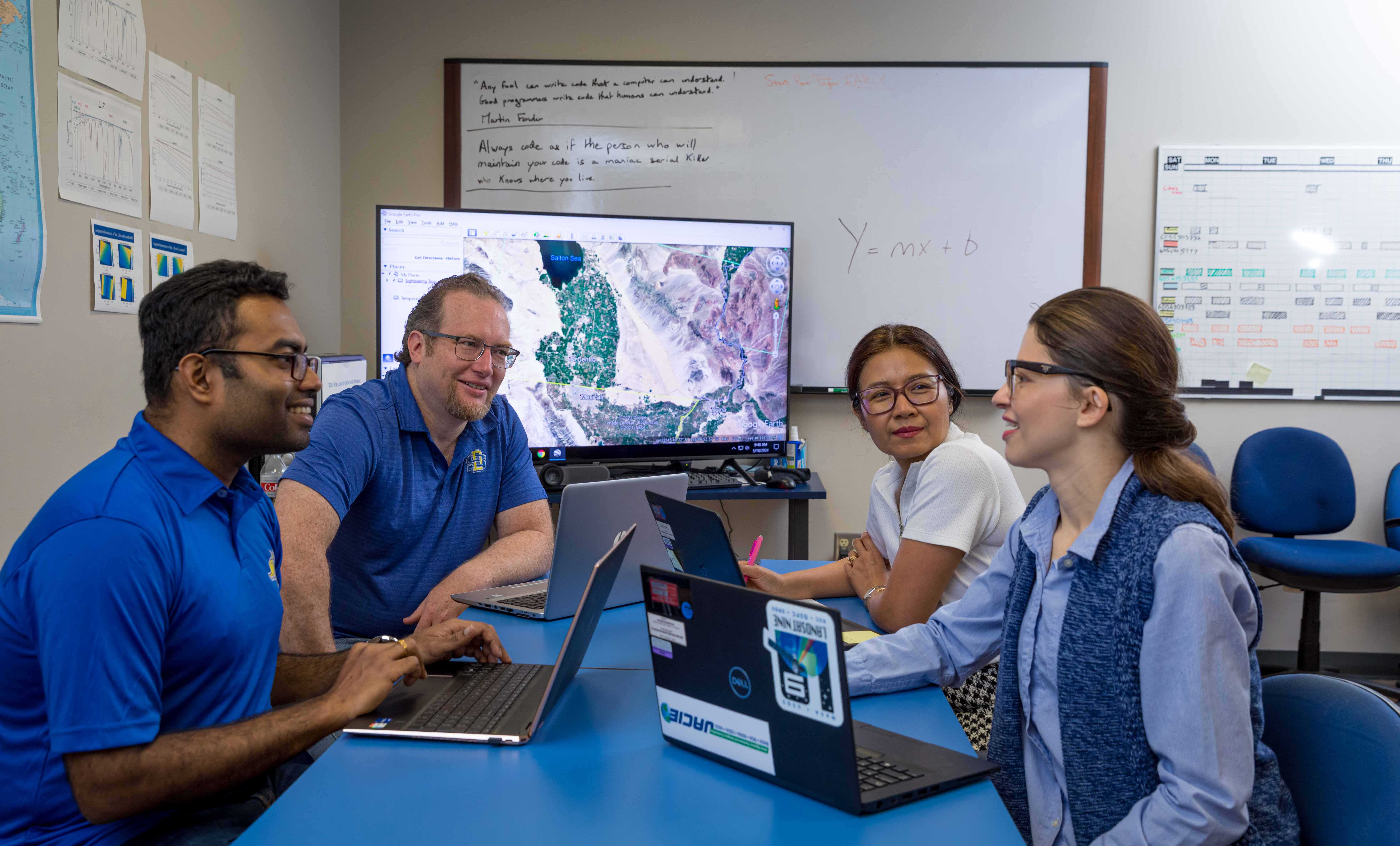
The South Dakota State University Image Processing Laboratory is helping intelligence agencies use remote-sensing satellite images to protect national security through an Intelligence Advanced Research Projects Activity, or IARPA, contract awarded to Accenture Federal Services. Pictured, from left, are imaging engineer M.M. Farhad ’18, lab director Larry Leigh and imaging engineers Morakot Kaewmanee and Cibele Teixeira Pinto.
The work is part of a potential four-year Intelligence Advanced Research Projects Activity, or IARPA, contract awarded to Accenture Federal Services (AFS), a subsidiary of Accenture. SDSU is one of seven universities, including Boston University, Cornell University and Massachusetts Institute of Technology, and two companies that received subcontracts to work on the project.
“This is our first project interacting with IARPA,†said Larry Leigh ’98/M.S. ’01, image processing laboratory director, pointing to efforts to diversify the lab’s funding sources. “This project involves something we’ve been doing for many years, but now we can start doing it in a different world.â€
The contract supports IARPA’s new Space-based Machine Automated Recognition Technique, or SMART, program, which seeks to automatically search imagery from multiple satellites as well as drones to monitor natural events, such as forest fires, insect infestations and crop disease outbreaks and flooding, as well as processes, such as heavy construction and human migration.
Leigh and his team will collaborate with Mississippi-based Innovative Imaging and Research, I2R, which also does remote sensing geospatial and optics-based work, to harness the data from remote sensing satellites. “We’ve worked a lot with I2R because they do similar remote sensing work,†he explained.
SDSU imaging engineers Morakot Kaewmanee and Cibele Teixeira Pinto, assistant professor Hankui Zhang of the Geospatial Sciences Center of Excellence, and four to five graduate students will work on the project. The full four-year contract would bring more than $1.8 million in research funding to SDSU.
“I2R and SDSU will provide an interface, a system that will be able to handle the input and bring it together into one continuous cross-validated and harmonized stream of data that scientists and intelligence agencies can use,†Leigh explained.Â
The challenge is “we have so much information coming from space that we just do not have a handle on how to use the information efficiently and effectively,†he continued. “What makes this interesting is every satellite is a bit different and there may be ones that we do not even know about yet that we will need to bring together.â€
The project involves developing systems in the cloud that store petabytes—1,000 terabytes—of data, Leigh explained. “We will also be examining the data sources, assigning certainty and quality statements to the data and making decisions on the confidence levels regarding the data.â€
Bryan Rich, managing director of applied intelligence and artificial intelligence practice for Accenture Federal Services, said, “We are excited to support IARPA with critical applied scientists and engineers to drive advancement in their geospatial intelligence and remote sensing research. We have put together a team of top research universities and advanced engineering contractors to convert research into scalable solutions and enable IARPA to provide the U.S. a strategic advantage over the next several years.â€Â


